
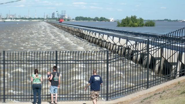
Today (5/15) I had off work (I worked yesterday) and so after a very nice nap, I decided to go see the river. The best place to view the Mississippi is just north of the Bonnet Carre Spillway, in Norco, LA.
In the image above, the Mississippi is on the right, and the normally dry spillway is on the left. it leads to Lake Pontchartrain.
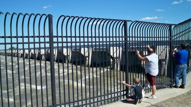
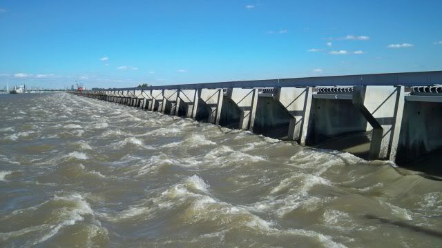
The scale of the thing is hard to photograph... each hole is pretty big.
I tried to capture a photo of the fish trying to swim UP to the Mississippi, but ran out of memory first.
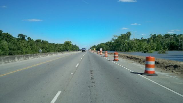
This is the "Airline Highway" designed to be well above the bayous and a safe way to get out of New Orleans. The designers didn't expect 20' of flood waters from Bonnet Carre!
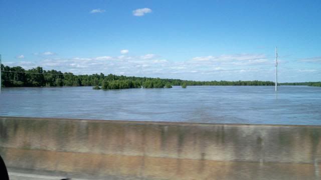
And a few trees seen from Airline Highway.
Locally, everyone seems to be on edge. The big debate was the opening of the Morganza Spillway, north of Baton Rouge, which will flood houses built in the Atchafalaya floodplain, but take pressure off the New Orleans and Baton Rouge levees.
Unlike the surge from Katrina, the Mississippi River's water is well above sea-level, and could flood the entire city (and Metairie, where I live) to a greater depth if those levees fail. This includes areas that didn't flood in Katrina, like Uptown and the French Quarter.
So we have reason to be nervous.
The paper (nola.com) has articles about wildlife and how they will escape the rising waters. Friends to the west in Morgan City and Bayou Sale are behind levees, so they shouldn't flood, but sandbags are being filled anyway.
We have had a drought here this past month. I hope we get some rain, but not that much.
(update June 5)
The spillway is still open... though the river has come down a bit. We still have a drought.

No comments:
Post a Comment